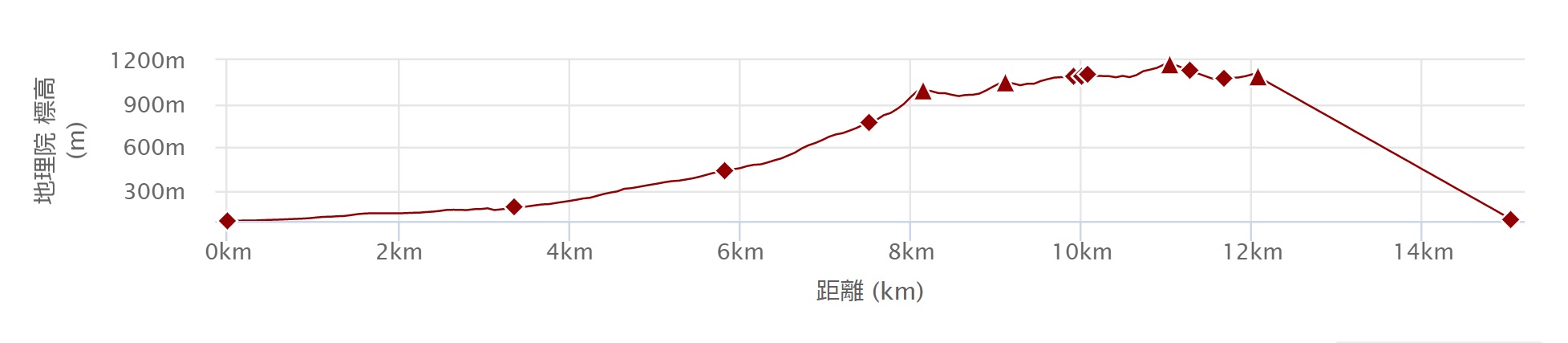
* The time required will differ during snowy periods.
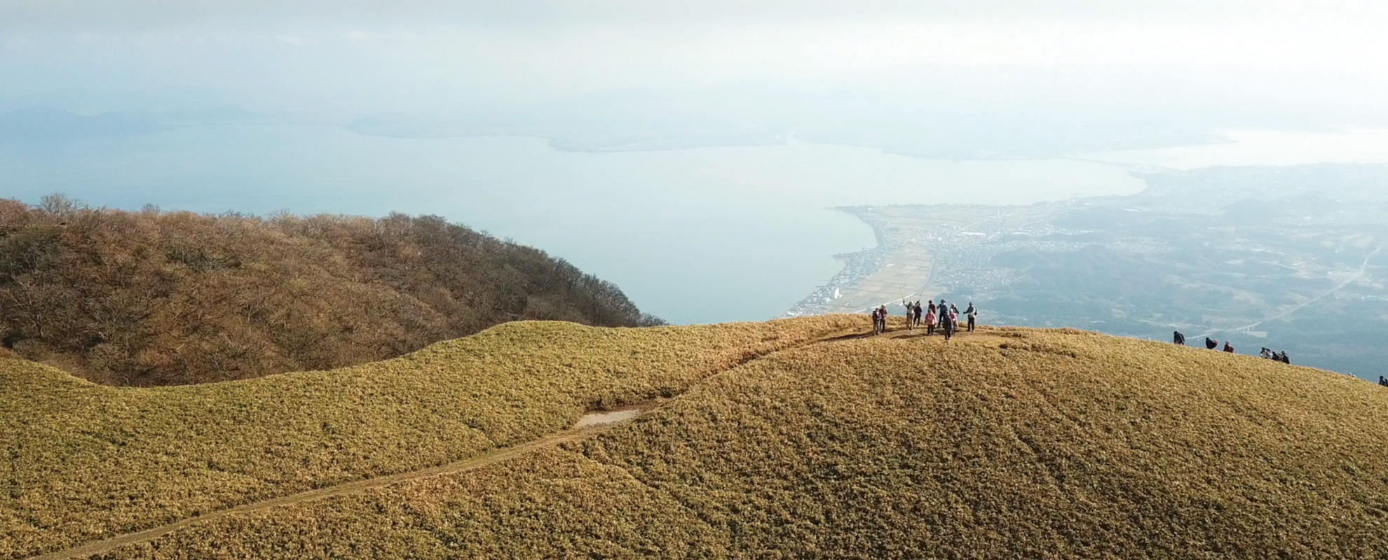
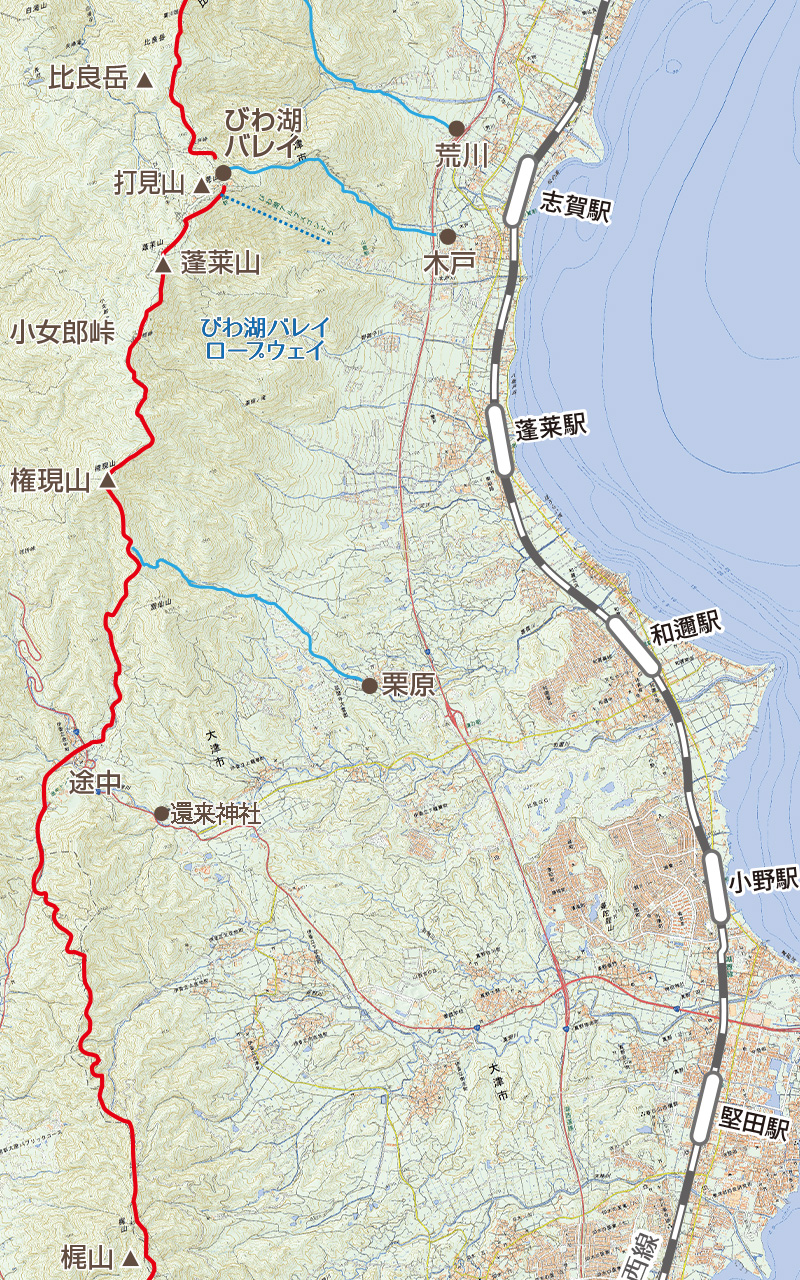
★Lake Biwa Observatory Route Recommended points
-
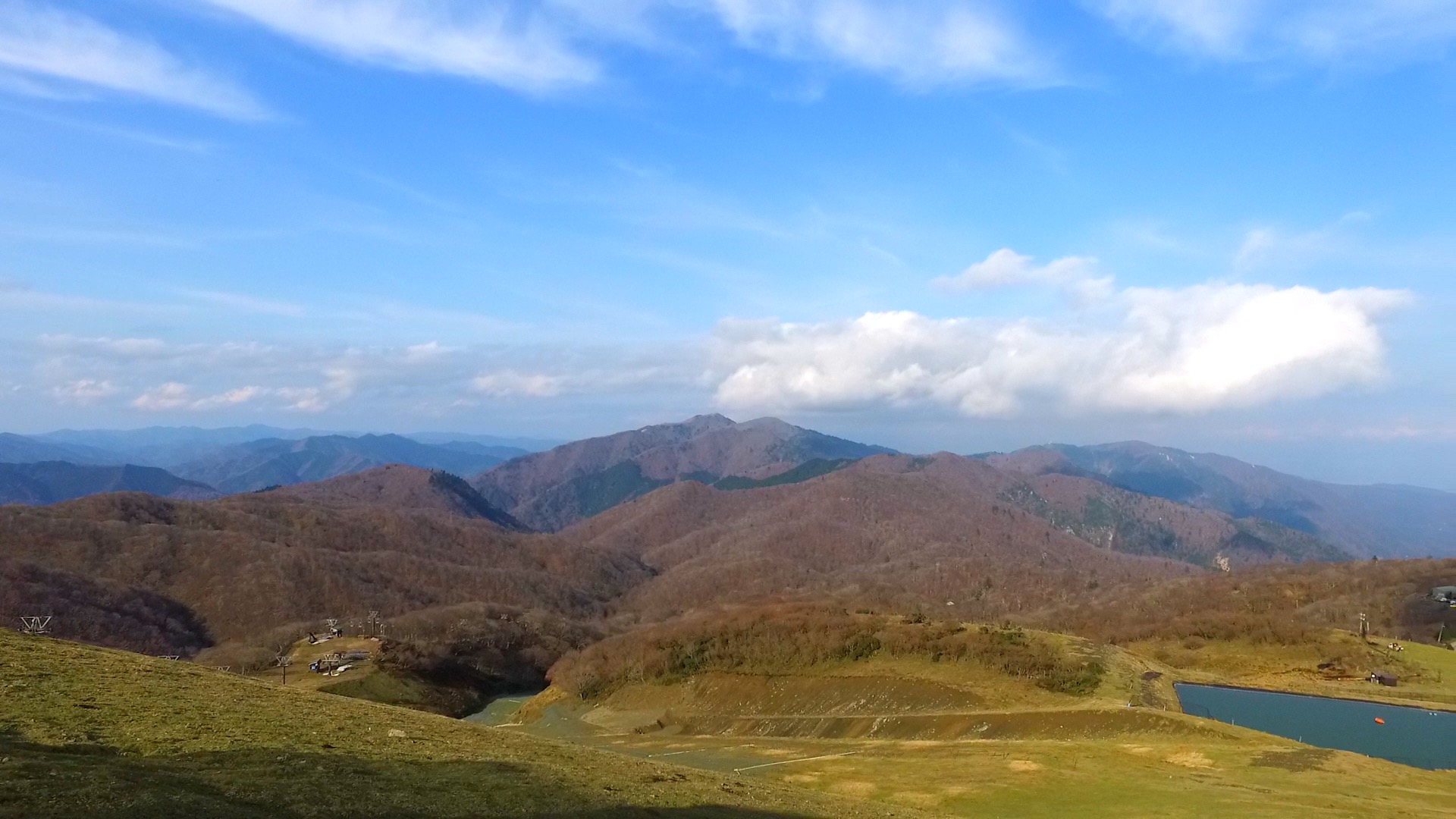
 Mt. Bunagatake
-
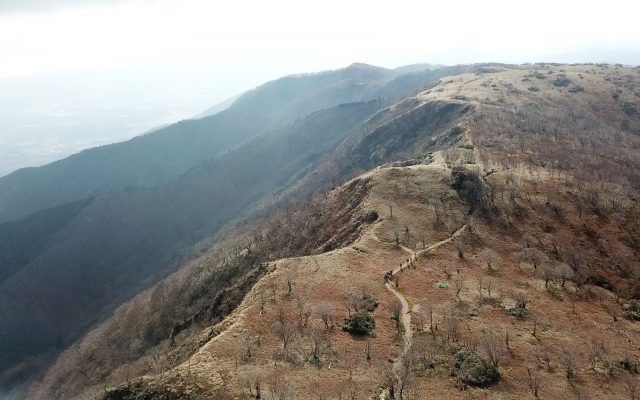
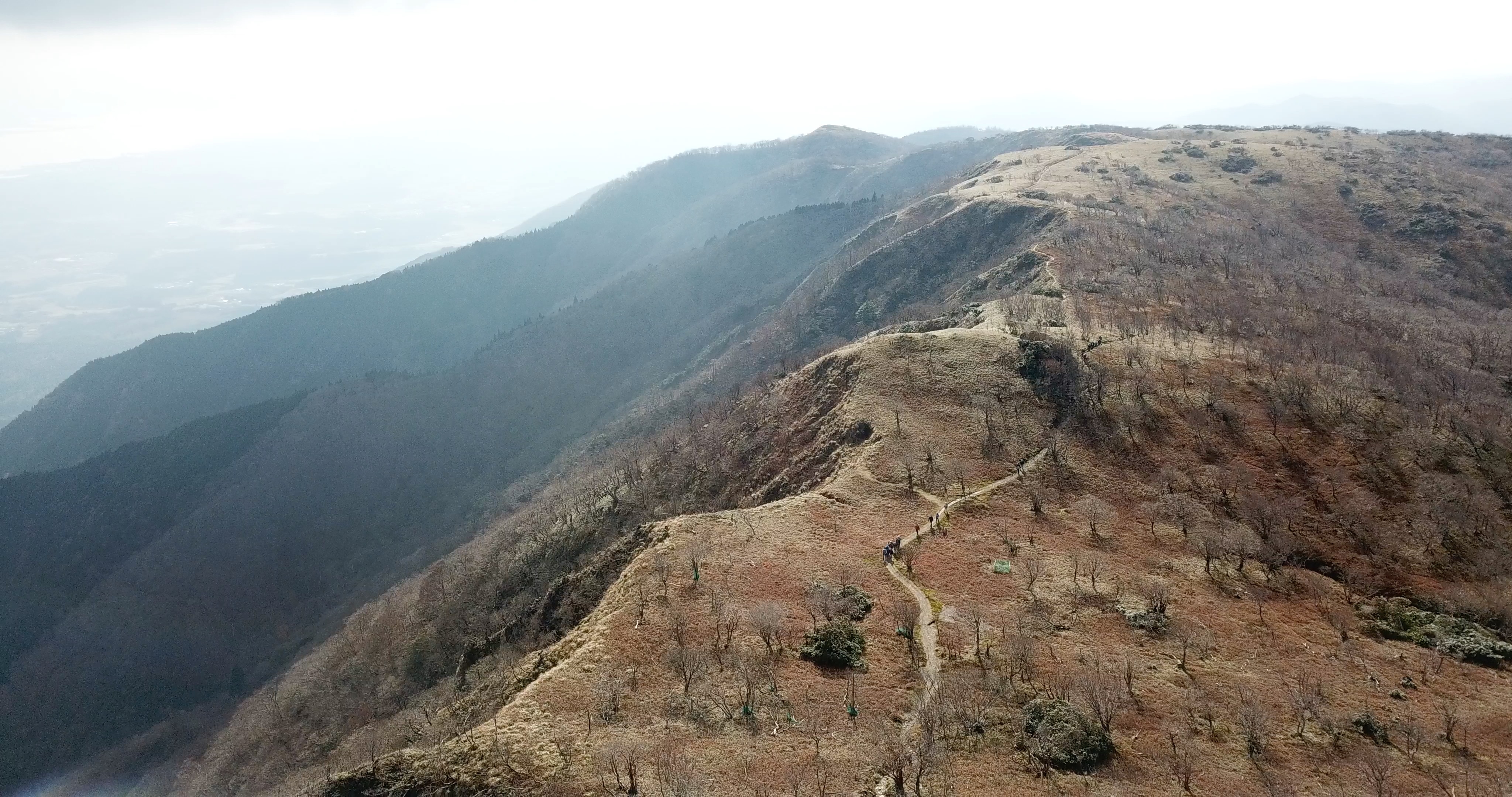
 Kojorou Pass
-
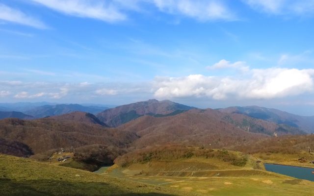
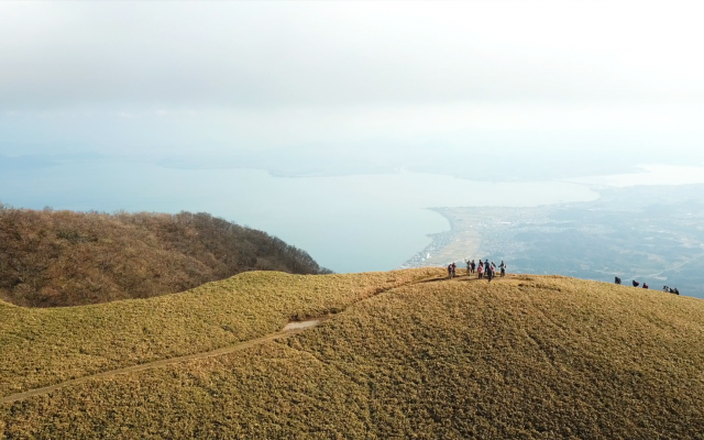
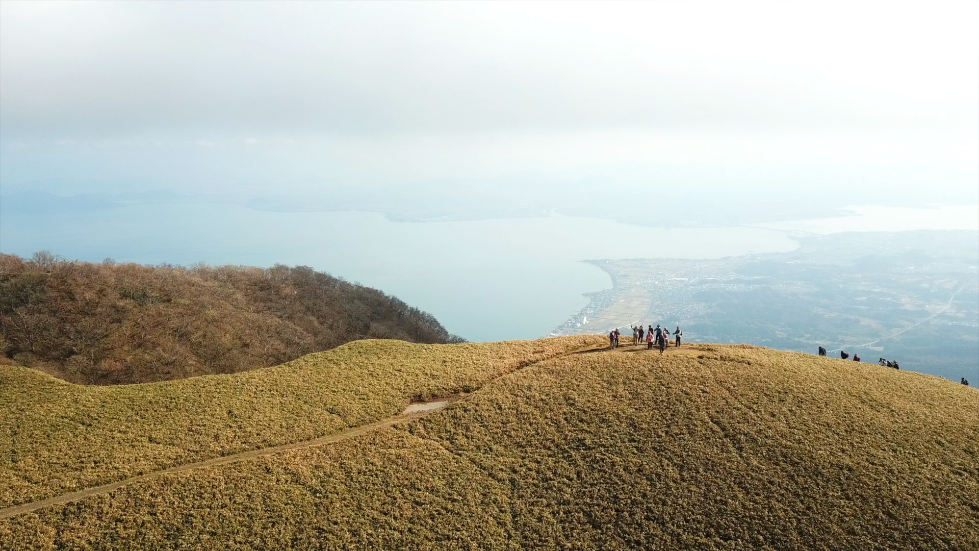
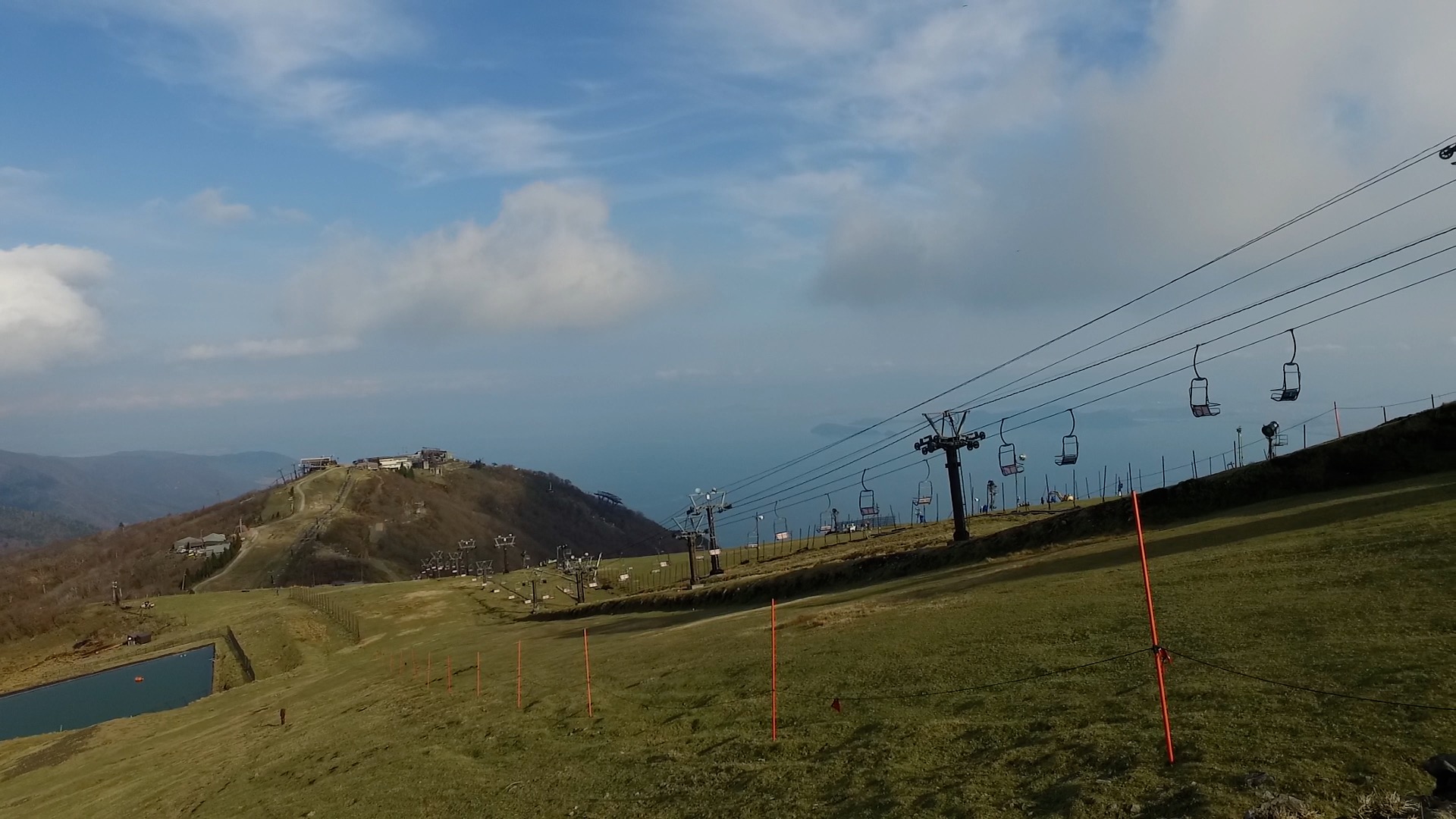
 Mt. Horai
- JR Wani st. Bus Stop
- (日本語) 還来(もどろき)神社
- (日本語) 上龍華
- Mt. Gongen
- Kojorou Pass
- Kojorou Pond(round trip)
- Mt. Horai
- Mt.Uchimi(Biwako Valley)
- Kitadaka Road
- Kido
- JR Shiga st.
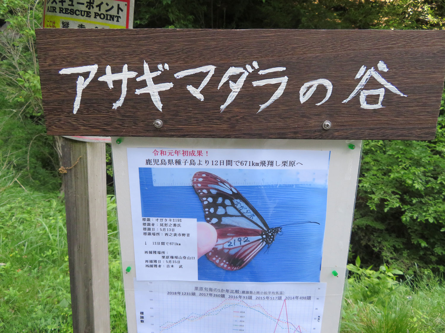
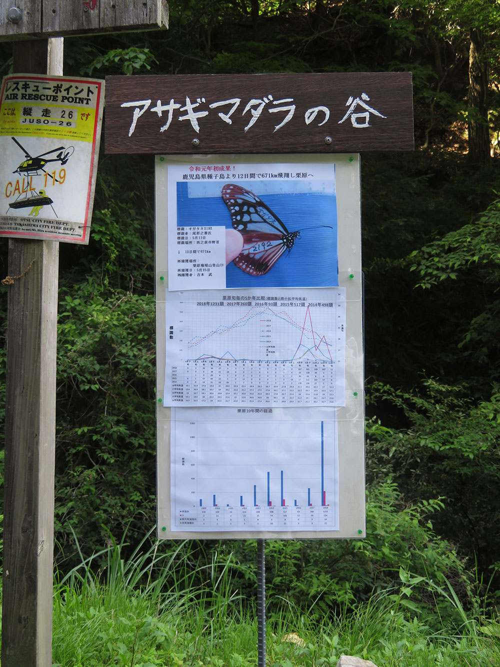
 ▲Click to enlarge image
Access to this route
土日祝は、江若バスの路線バス・路線時刻表をご確認ください。平日は、大津市乗合タクシー『光ルくん号』をご利用ください。
ご予約は、お電話にて077-522-6677までお掛けください。
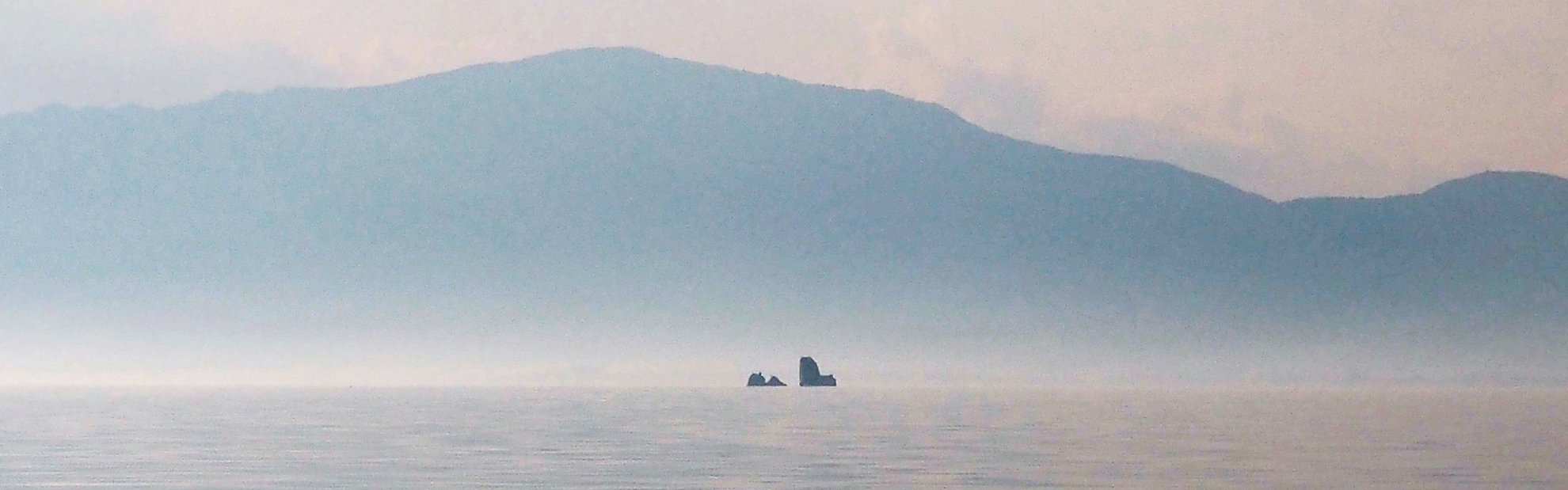
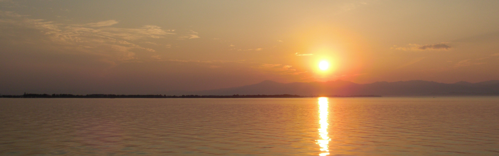
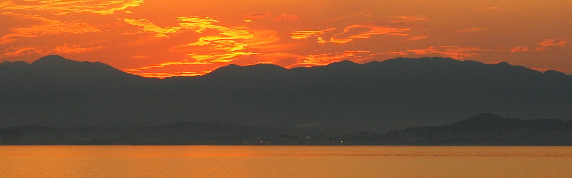
Route gallery
*We look forward to receiving your submissions for the route gallery.
*Please include comments with your photos where possible.
*Please upload your photos to a service such as Gigafile, and the the upload URL using the inquiry form.
*If you are unable to publish your name, please indicate so in the “inquiry details” section of the form.


Local information
*We look forward to receiving your submissions regarding information on the local area.
*Please send photographs / descriptions / websites for reference by email.
*Regarding the order of publication, we will give priority to supporting members and those who have made donations.
*To join as a supporting member, please go to the Support page.
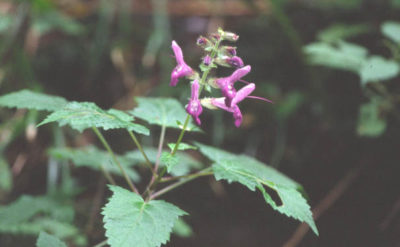 (日本語) アキギリ
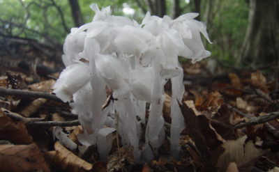
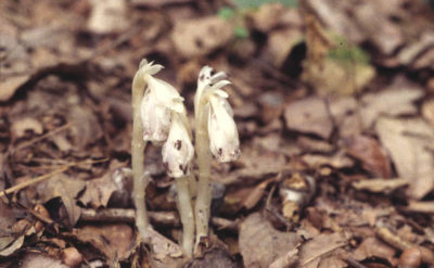 (日本語) ギンリョウソウモドキ
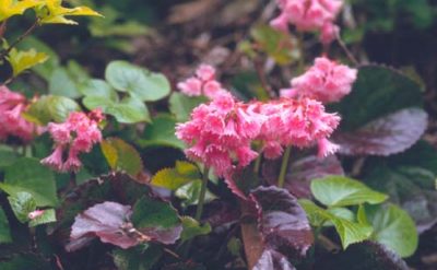 (日本語) オオイワカガミ
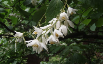 (日本語) オオバアサガラ
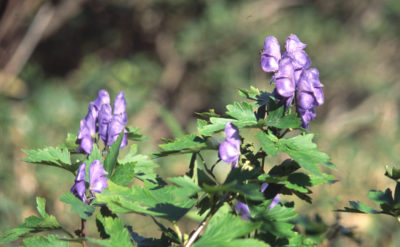 (日本語) キタヤマブシ
 (日本語) ギンリョウソウ
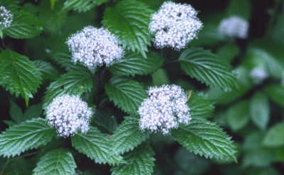 (日本語) コアジサイ
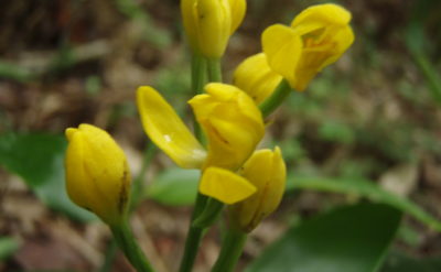 (日本語) キンラン
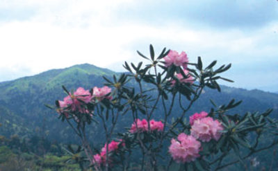 (日本語) シャクナゲ
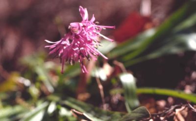 (日本語) ショウジョウバカマ
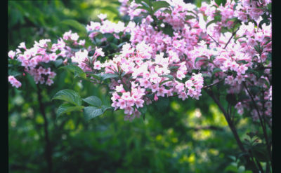 (日本語) タニウツギ
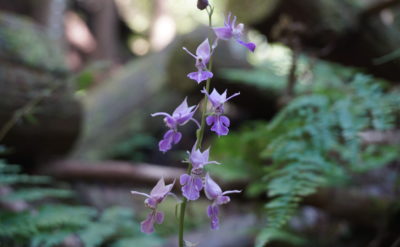 (日本語) ナツエビネ
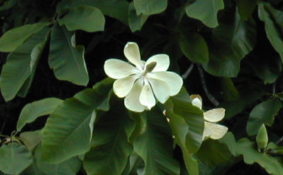 (日本語) ホウノキ
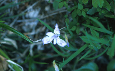 (日本語) ヒメシャガ
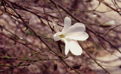 (日本語) タムシバ
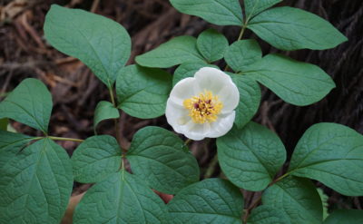 (日本語) ヤマシャクヤク
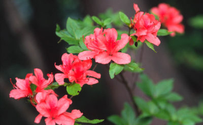 (日本語) ヤマツツジ